


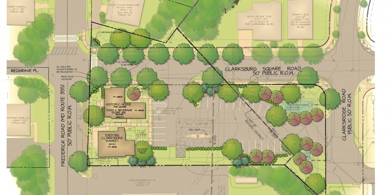
Project Description
Client/Builder/Developer: Royal Farms
Location: Laurel, Maryland
Market: Commercial/Retail
Size: 2.03 acres
Zoning: M-X-T (Mixed Use – Transportation) – Special Exception
Density: 0.06 FAR
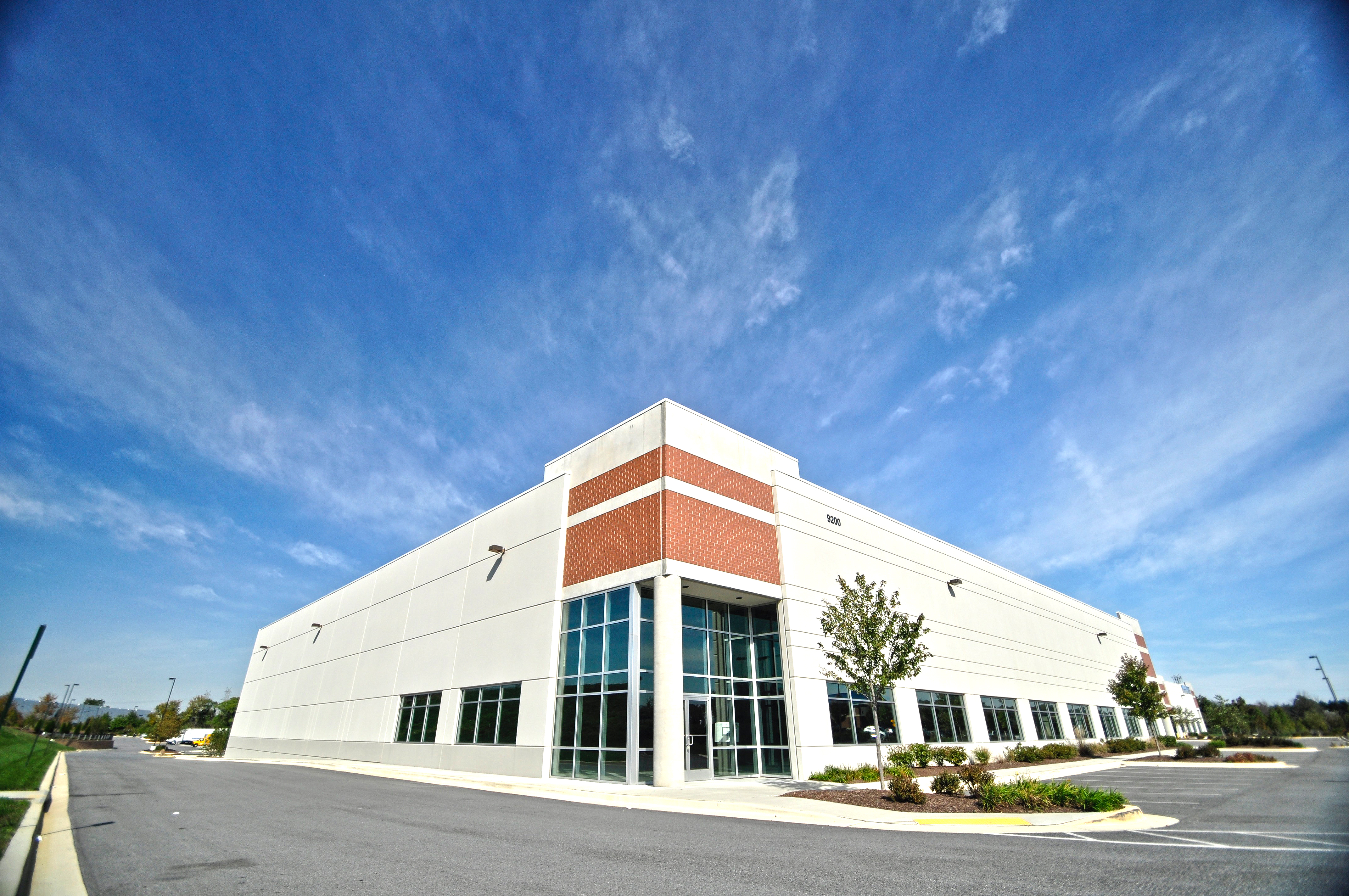
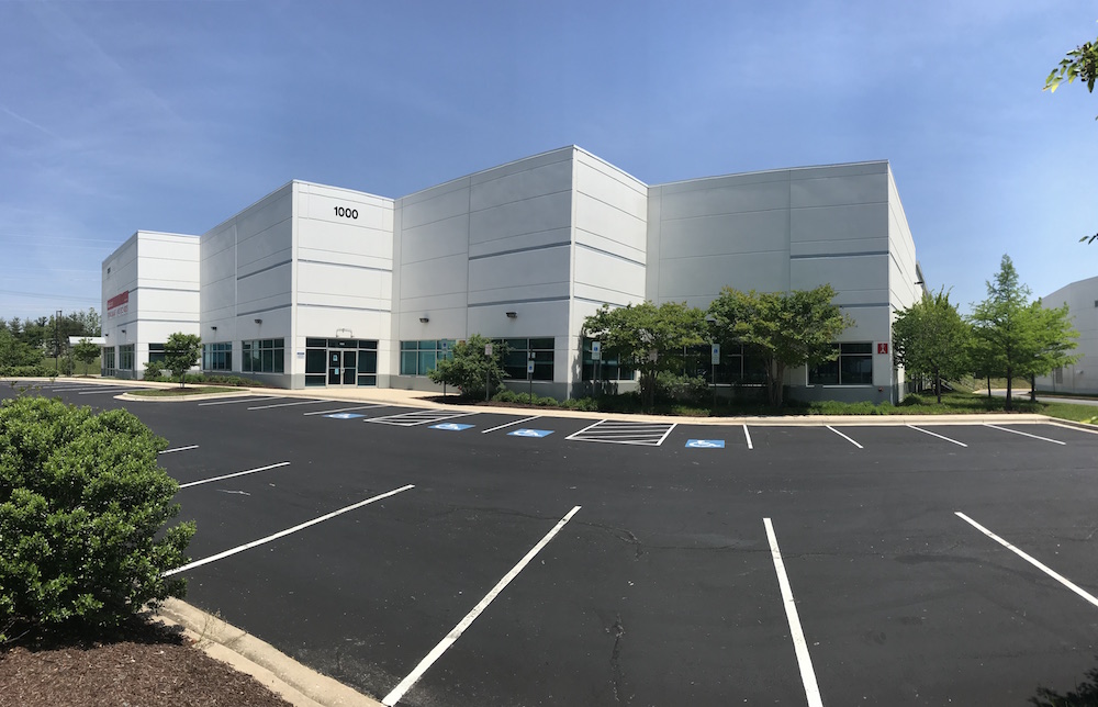
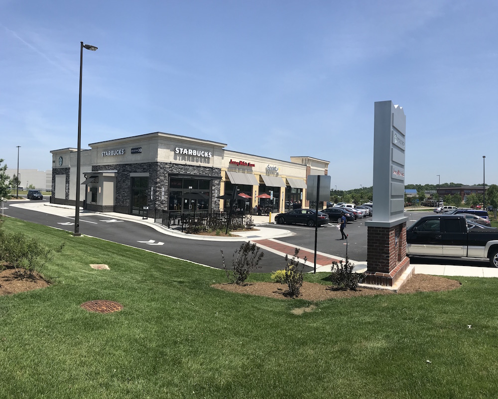
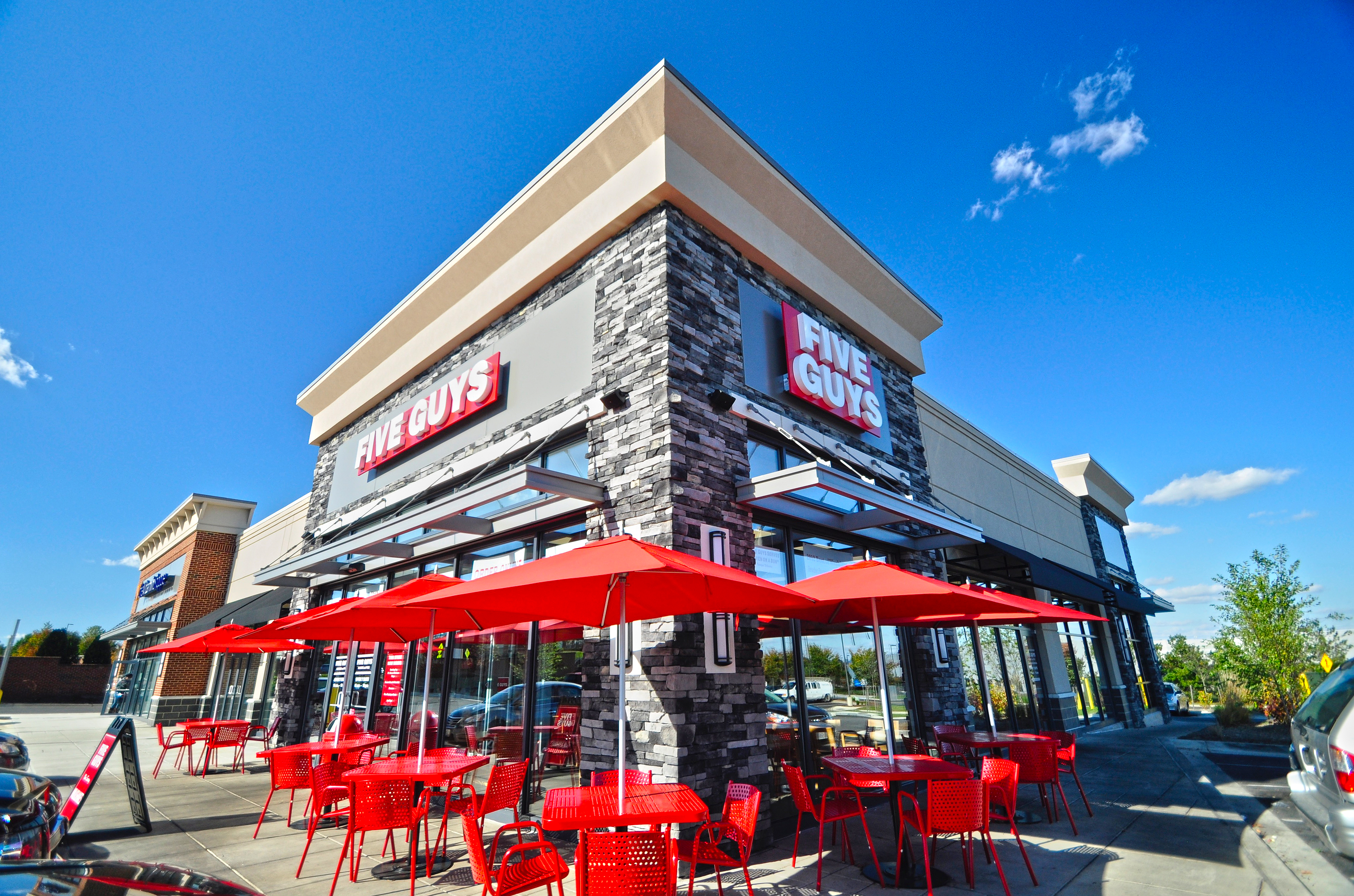
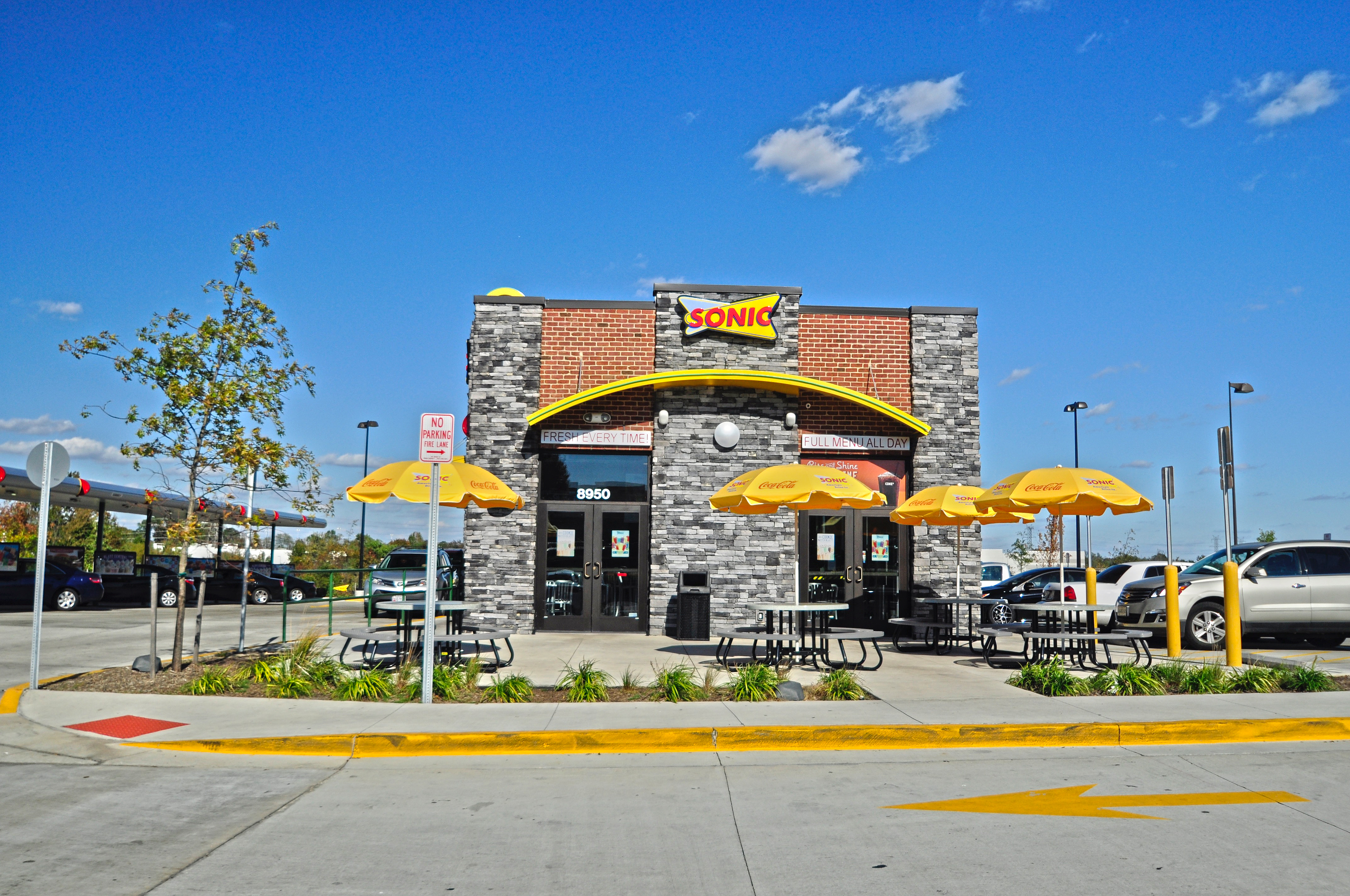
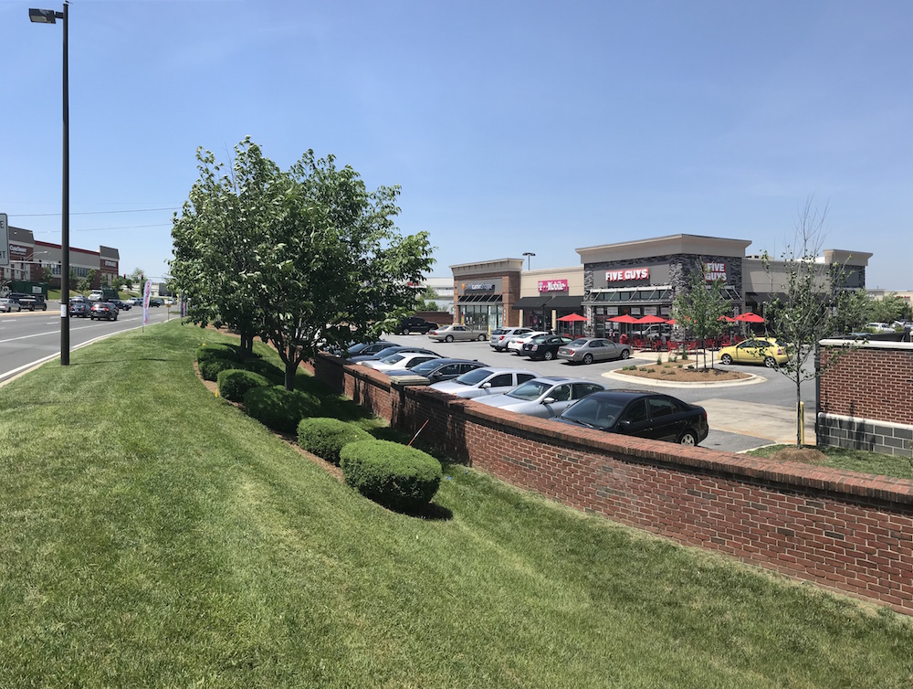
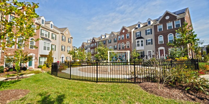
Recent Projects
The Challenges
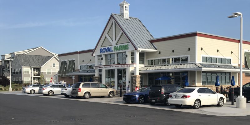
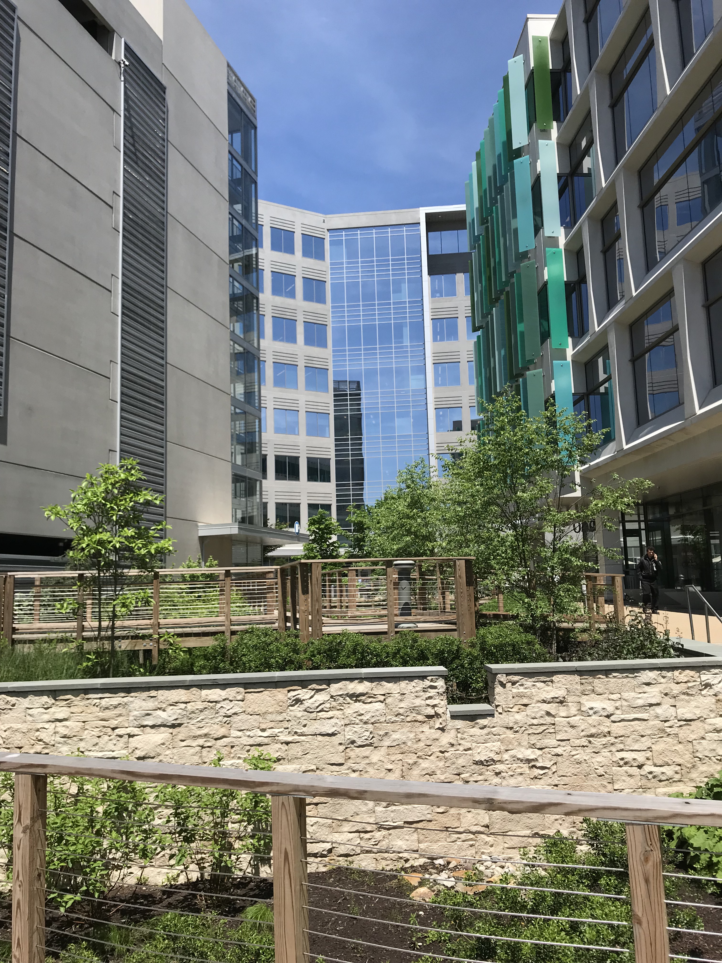
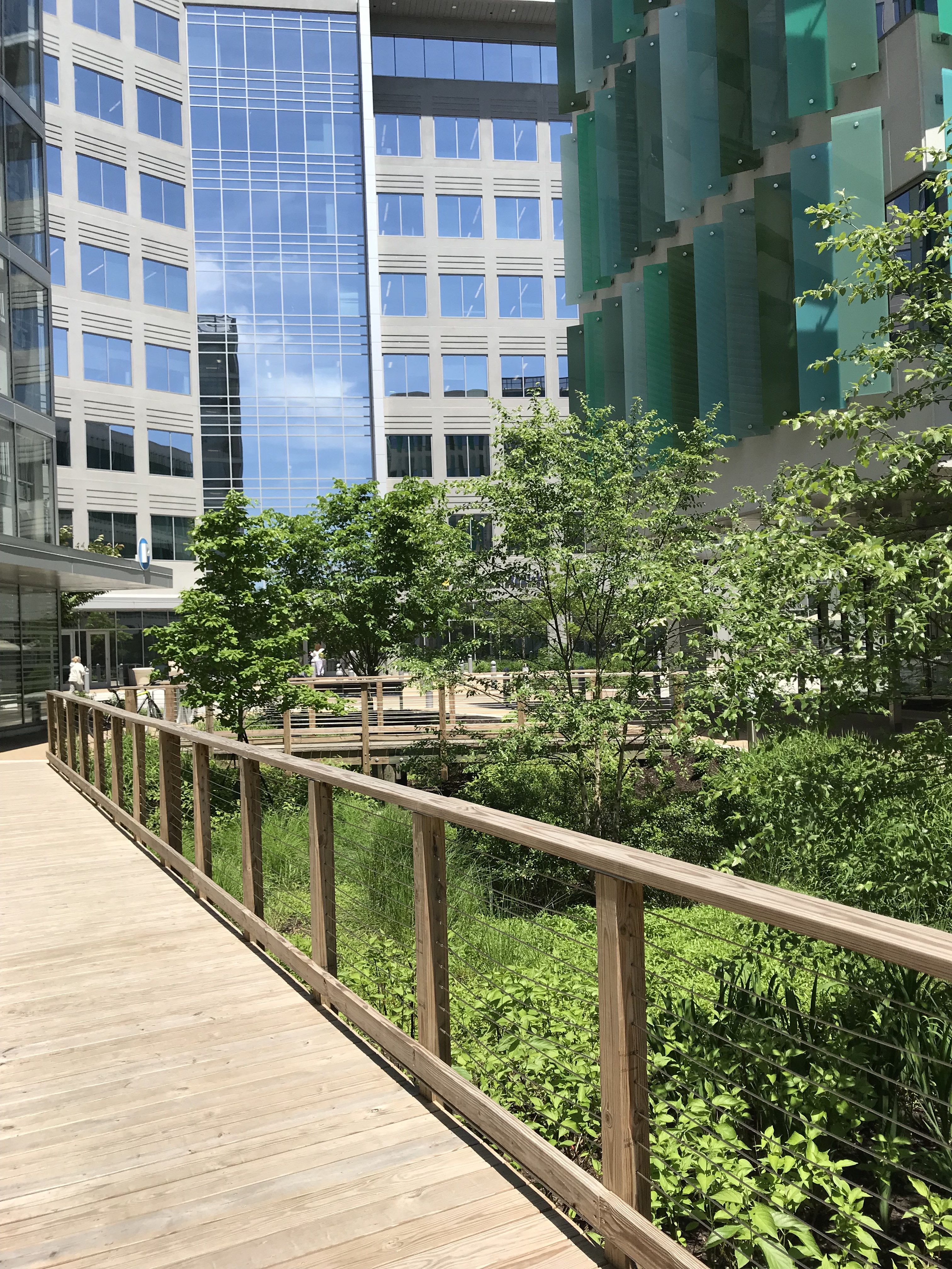
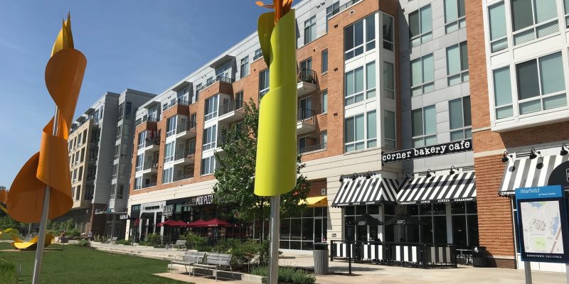
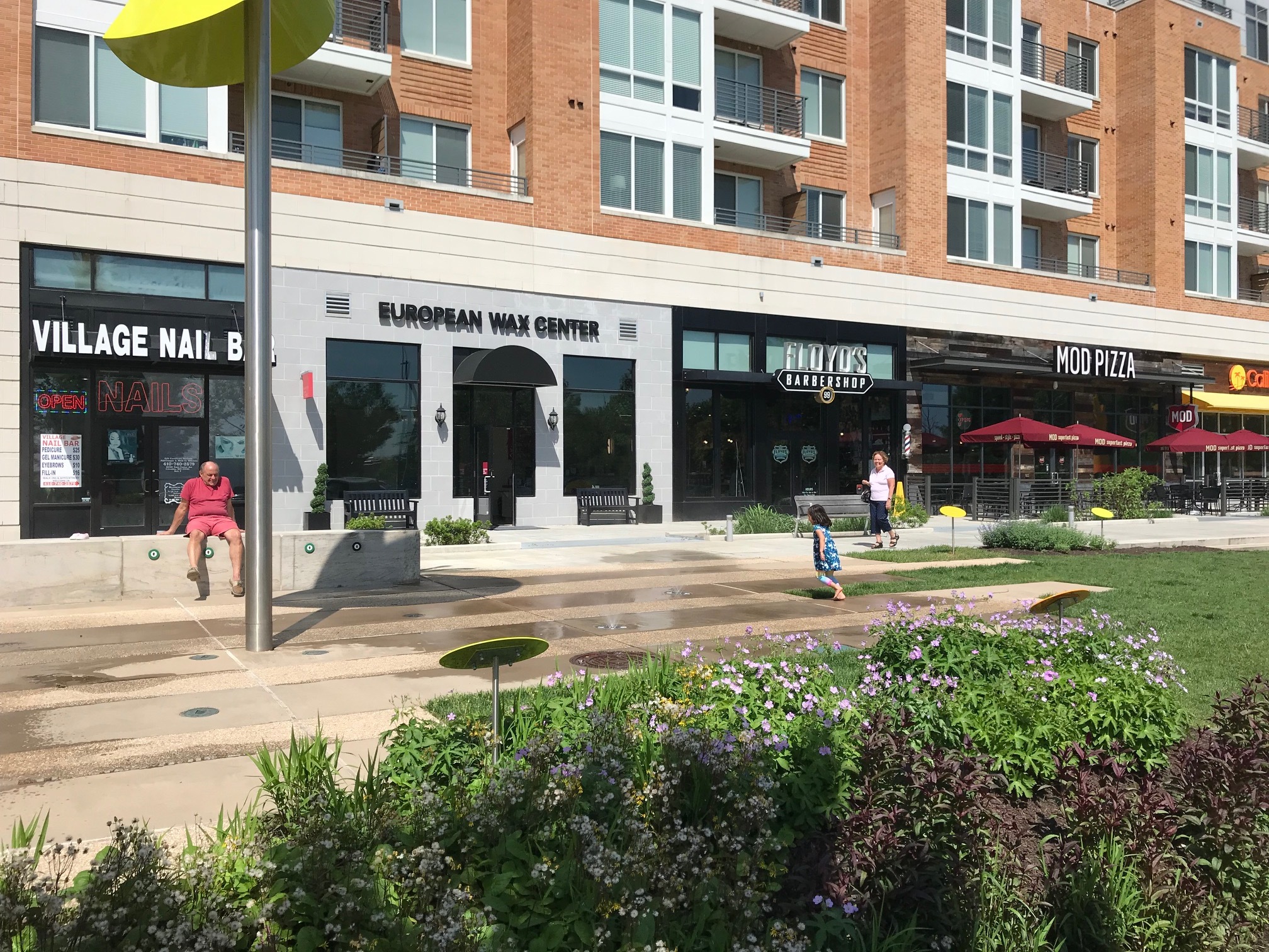
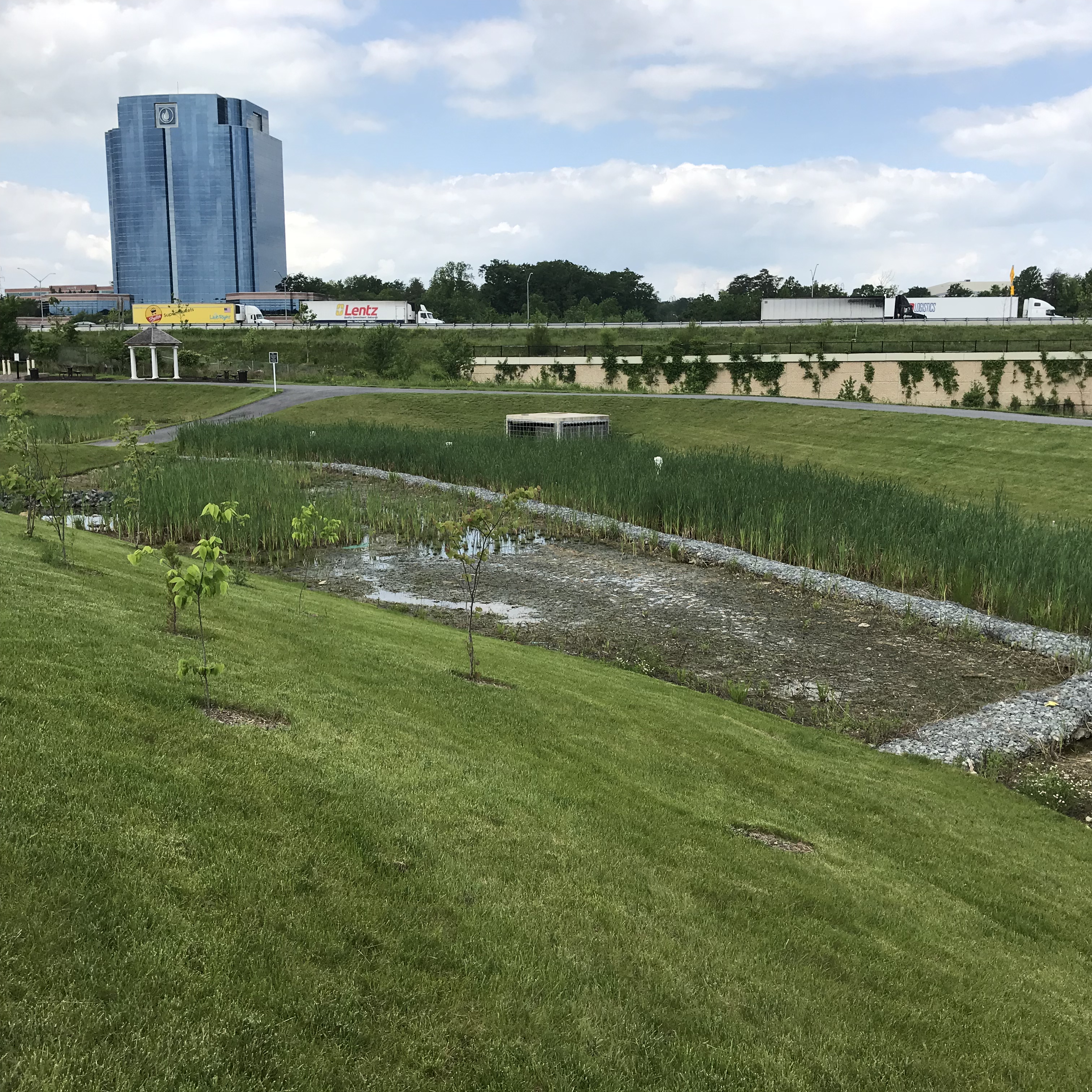
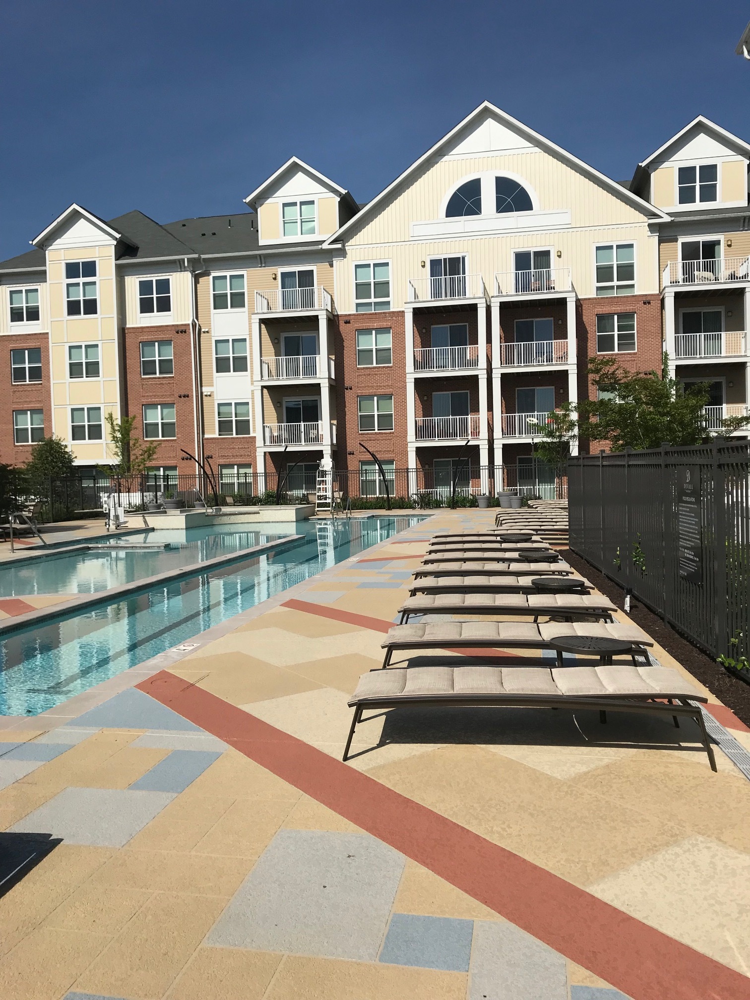
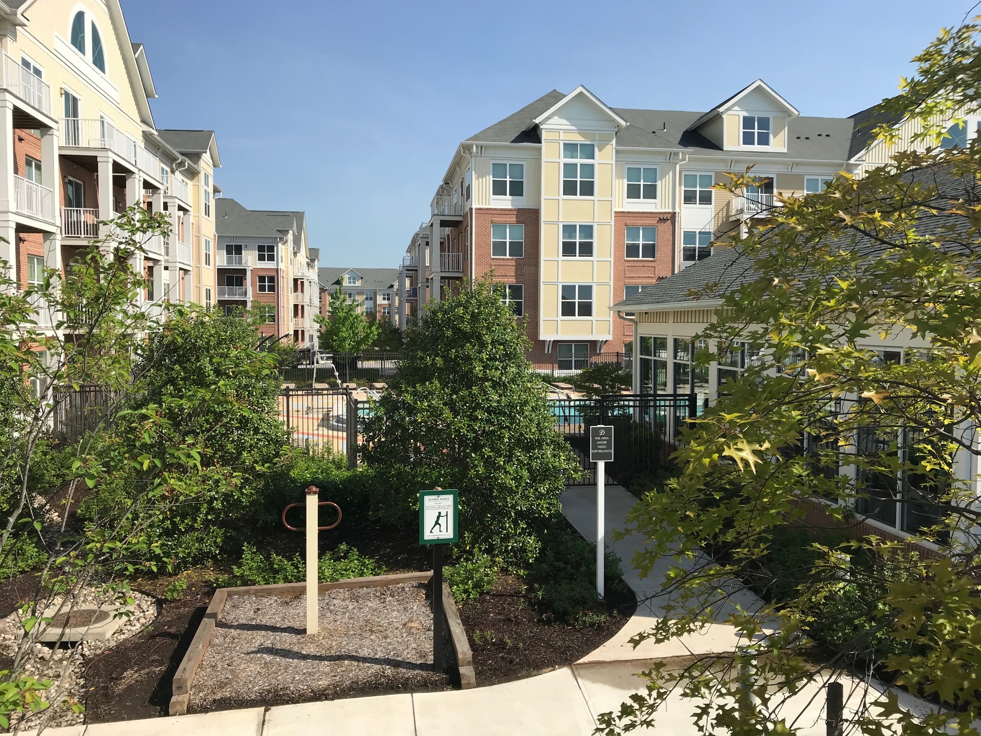
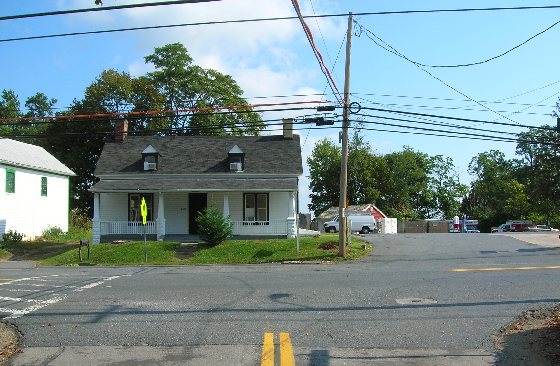
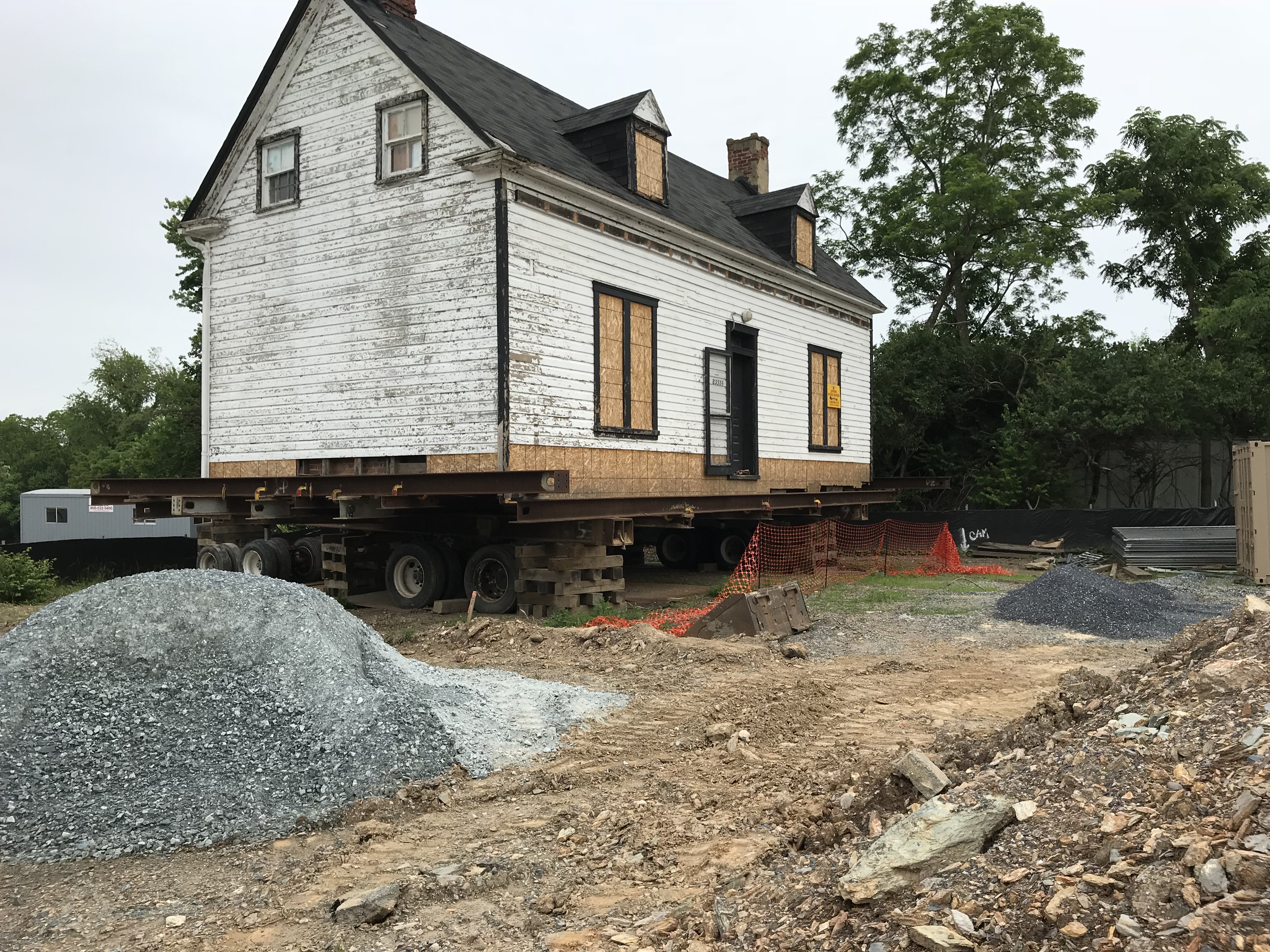
Royal Farms builds and manages over 150 convenience/gas stores throughout the Mid-Atlantic region. Royal Farms – Anderson’s Corners is located in a developing area in west Laurel off I-95 adjacent to over 900 newly constructed apartments, townhouses and the proposed Konterra Town Center with over 2,000 homes, hotels and over 2 million square feet of commercial, entertainment and office uses. Providing gas service to customers required special pollution prevention measures to capture any accidental fuel spills. The project location required development plans to be reviewed and permitted by multiple city, county, state agencies that often conflicted with each other. The site had significant grade change from front to back and consisted of mostly wet, non-compactable soils.
The Solution
GLW was tasked with providing planning, engineering, landscaping and forest conservation services for the project. Our engineers designed an on-site stormwater management system that included a trench drain around the fuel dispenser pad and a clay liner in the micro-bio facility to prevent any accidental fuel overflow from leaving the site. Soil borings and earthwork calculations were performed at an early stage to allow budgeting for the cost of removing poor soils and importing gravel and other compactable soils. Careful coordination between site designers and ongoing grading operations of the adjacent apartment development allowed both projects to achieve more balanced sites. Additionally, GLW’s site design created a plan that met Royal Farms’ required site specifications while still minimizing earthwork and retaining wall costs.


")